The Geological Survey of Western Australia (GSWA) produces many maps and digital spatial layers that synthesise the geology of Western Australia and its mineral and petroleum endowment. Statewide geophysical and geochemical datasets and images are also available.
GSWA produces geological, geophysical and resource maps covering the whole state at scales from 1:100 000 to 1:10 000 000. All these maps are available in digital format as spatial datasets or as PDFs, and some are available as plotted paper maps. Spatial datasets can be viewed in GeoVIEW.WA and downloaded free from the department’s Data and Software Centre. Go to Data and Software Centre, then ‘Statewide Spatial Datasets’, ‘Geology’, <product name>, ‘Download’. PDFs can be downloaded free from the department’s eBookshop, and most plotted maps can be purchased from the department’s Front Counter. Find current geophysical information and datasets.
To purchase plotted maps or digital datasets on USB, search for and place orders online at the eBookshop or via email. Enquiries about digital data downloads can be directed to the Digital Data Administrator.
-
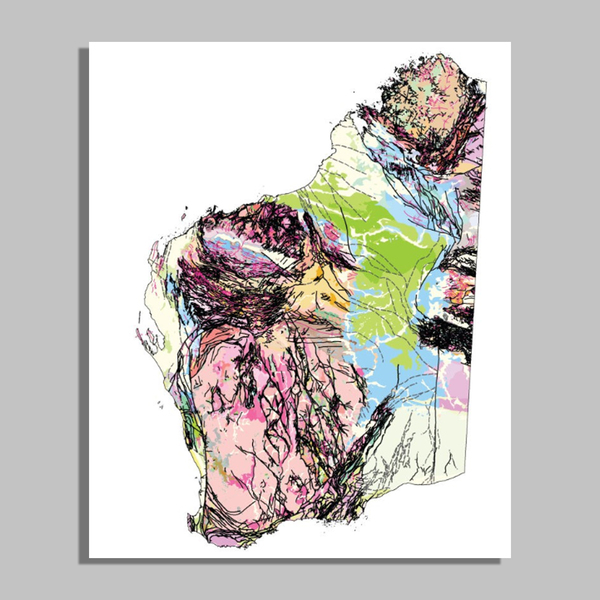
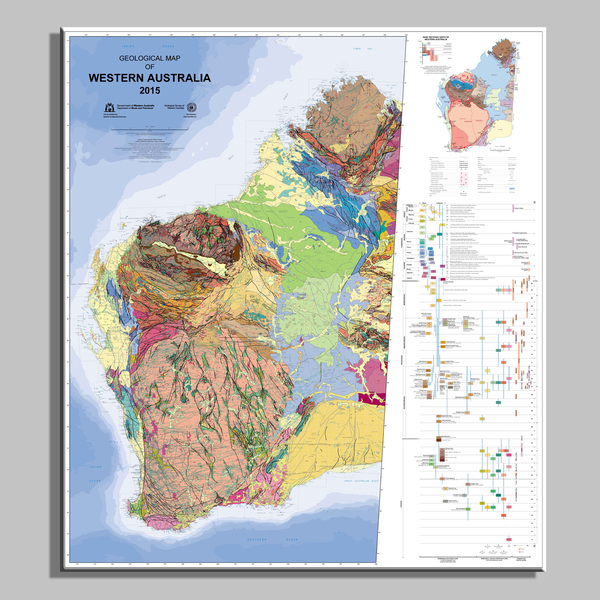 Geological map of Western Australia, 1:2 500 000, 14th edition, 2015
-
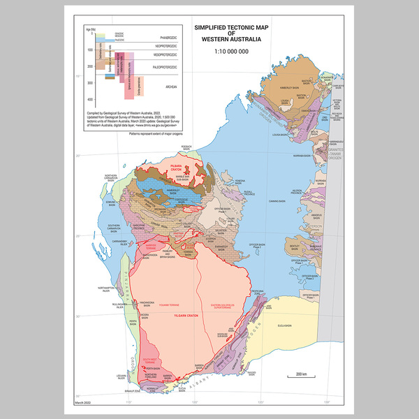 1:10 000 000 Simplified Tectonic Map of Western Australia
-
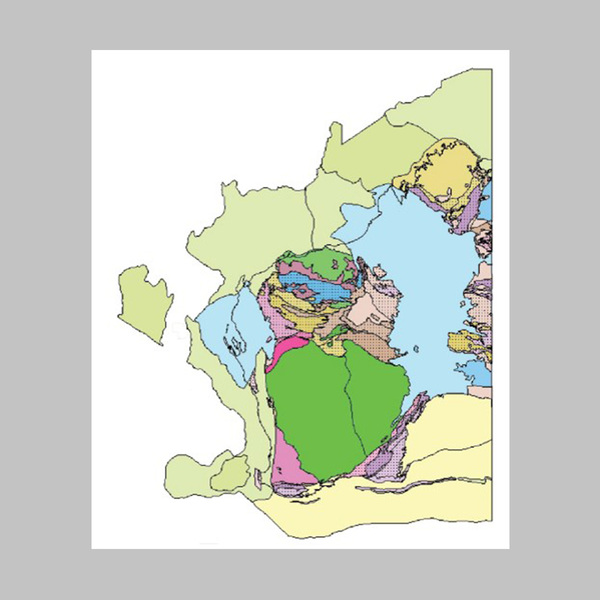 1:10 000 000 Tectonic units of Western Australia
-
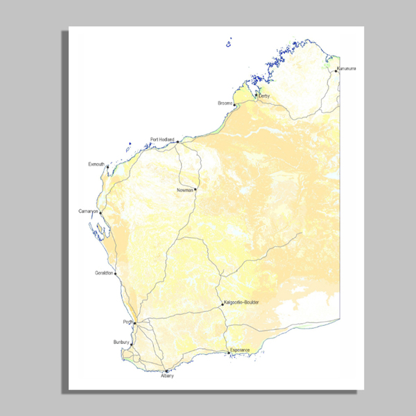
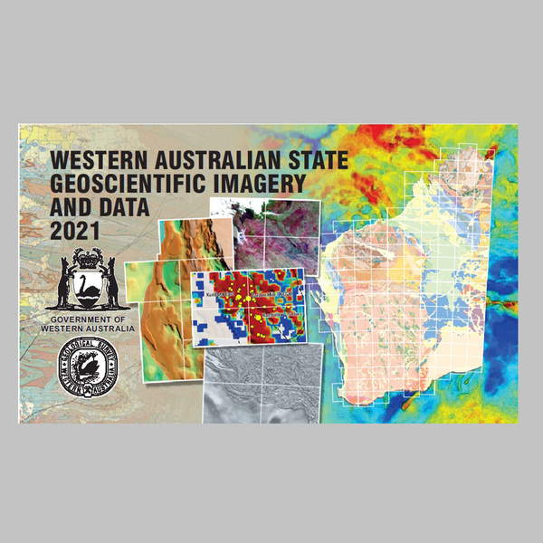 Western Australian State geoscientific imagery and data
-
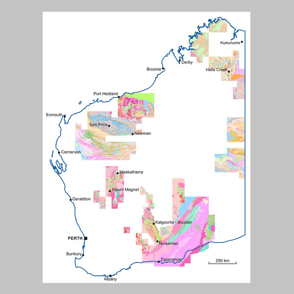
 1:500 000 State interpreted bedrock geology of Western Australia
-
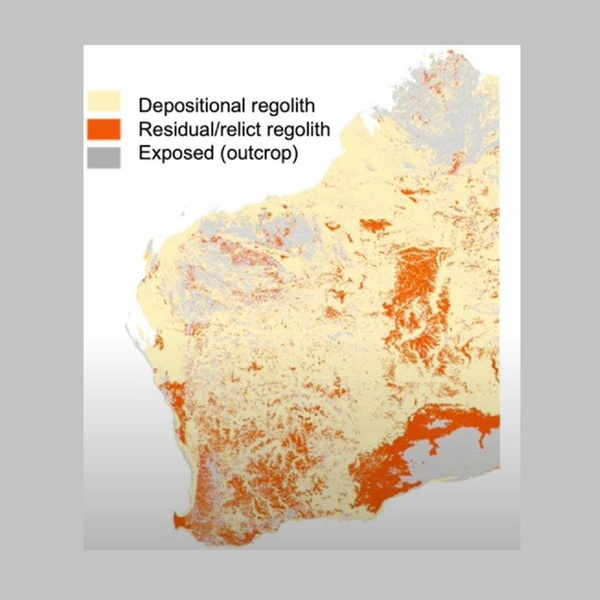
 1:500 000 State regolith geology of Western Australia
-
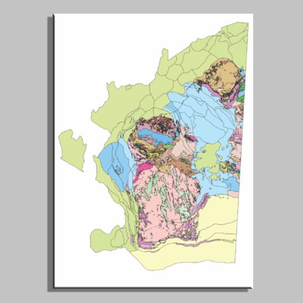 1:500 000 Tectonic units of Western Australia
-
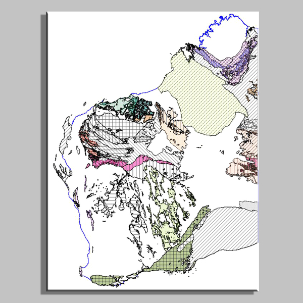 1:500 000 Orogenic events of Western Australia
-
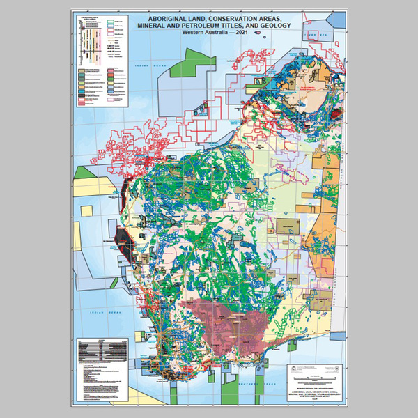 Aboriginal land, conservation areas, mineral and petroleum titles, and geology, Western Australia — 2022 (1:2 500 000 scale)
-
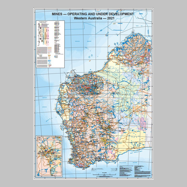 Mines — operating and under development, Western Australia — 2021 (1:3 000 000 scale)
-
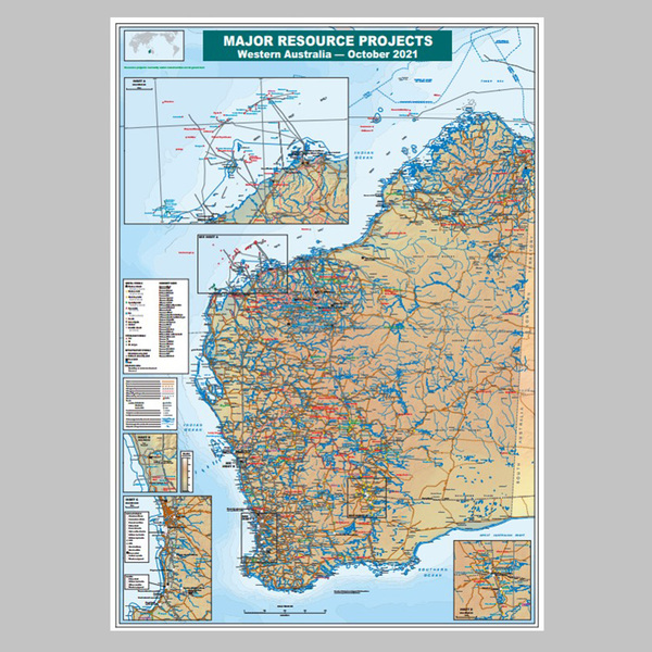 Major resource projects, Western Australia — October 2021 (1:3 000 000 scale)
-
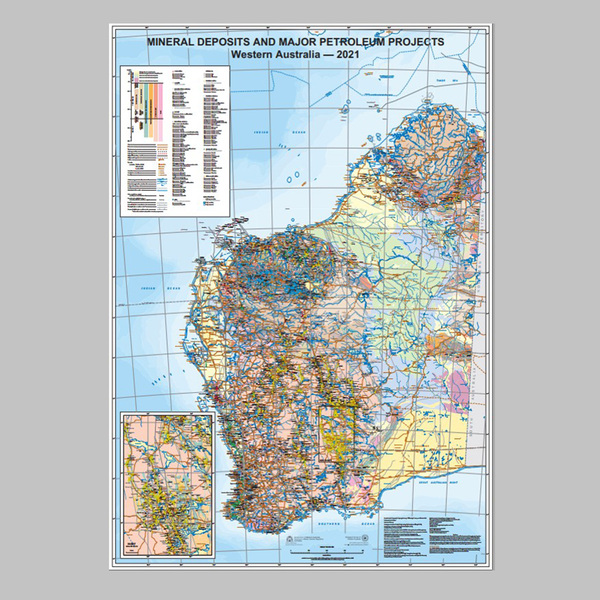 Mineral deposits and petroleum fields, Western Australia — 2021 (1:3 000 000 scale)
-
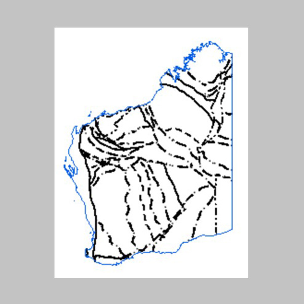 1:2 500 000 major crustal boundaries of Western Australia, 2021
-
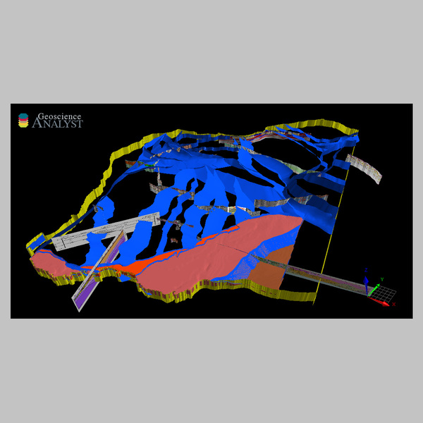 3D geomodel of Western Australia, 2021
-
 1:100 000 State interpreted bedrock geology of Western Australia
-
 1:100 000 Regolith geology regimes of Western Australia
-
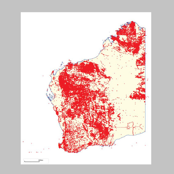
 Compilation of WAROX data, 2020
-
 WAROX lithology and site notes, Text Extracts Online, June 2021
-
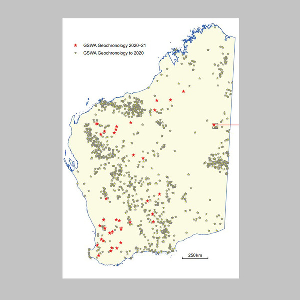 Compilation of geochronology information
-
 Compilation of metamorphic history information
-
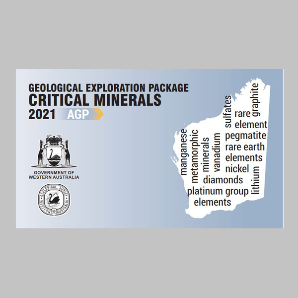 Critical Minerals Geological Exploration Package
-
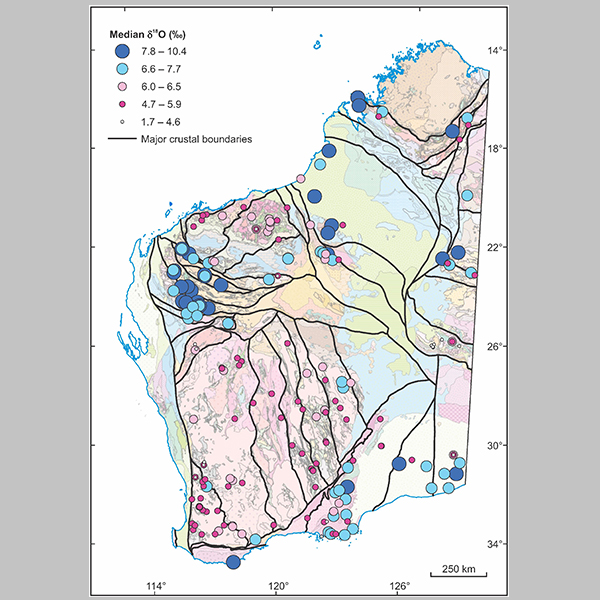 Zircon oxygen isotope map of Western Australia, 2021
-
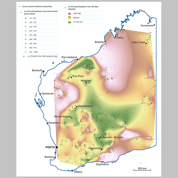 Zircon Lu–Hf isotope map of Western Australia, 2021
-
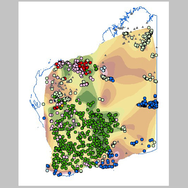 Sm–Nd isotope map of Western Australia, 2021