This flagship program of the Exploration Incentive Scheme (EIS) has supported the capture of vast amounts of geophysical and geochemical data in Western Australia since 2009.

Airborne magnetic and radiometric surveys
New airborne magnetic and radiometric surveys commissioned under the EIS have completed medium-resolution airborne magnetic and radiometric coverage of Western Australia. The data gathered by these surveys assists in the mapping of the structure of the rocks below the surface, and the composition and distribution of the soil and exposed rocks at the surface.
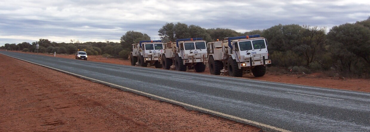
Deep crustal seismic traverses
Adding to a network of deep seismic traverses will improve the understanding of the crustal structure of Western Australia.
Using geophysical and geological cross-sections between cratons and margins of Western Australia, South Australia, North Australia and the Neoproterozoic and Phaenerozoic Basins, uncovers key information about Australia’s evolution. Geological information allows us to directly observe changes in the Earth’s lithosphere in Australia during the past four billion years. It also provides an understanding of the crustal infrastructure hosting large mineral systems.
Regional gravity and geochemical surveys
Regional ground and airborne gravity surveys provide 3D geological information to complement the Geoscience and Resource Strategy Division’s (GSRD) geological mapping programs in greenfield exploration areas.
Regional geochemical surveys provide multi-element geochemical coverage of underexplored parts of the Yilgarn Craton to stimulate mineral exploration.
Data collected from the surveys is incorporated into GRSD web-based geochemistry database and is available through the various geophysical data download options.
Contact
For further information contact:
EIS@dmirs.wa.gov.au
