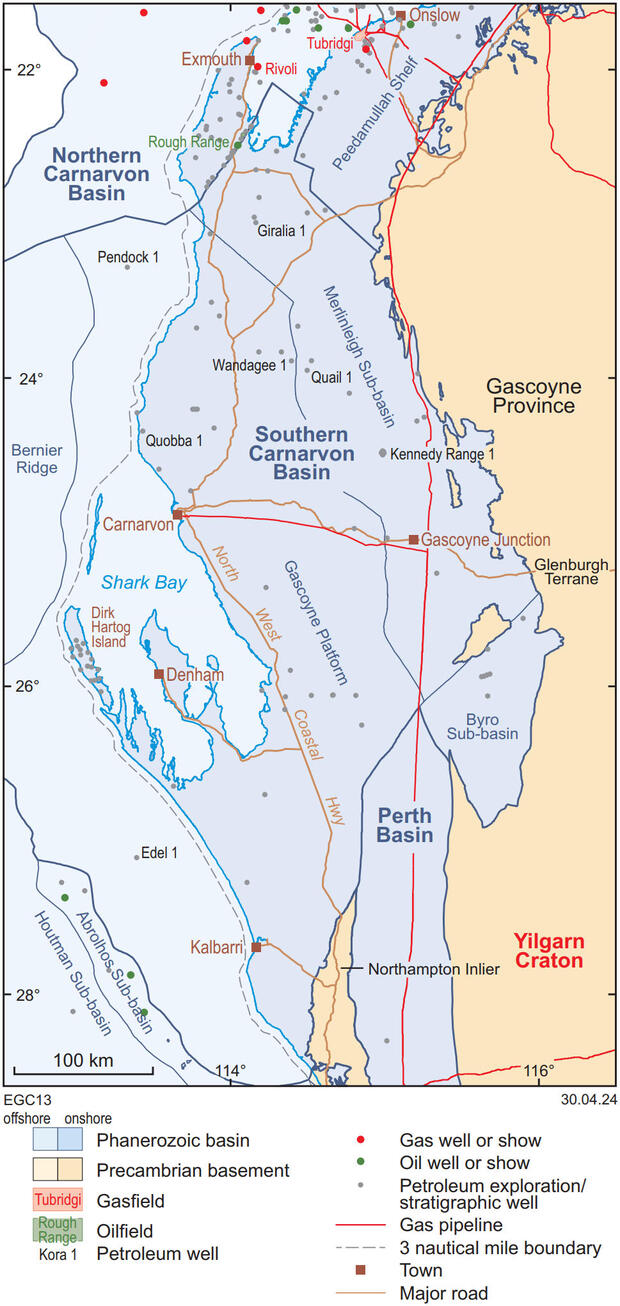
The Southern Carnarvon Basin covers about 190 000 km2 west of the Precambrian West Australian Craton. The onshore, primarily Paleozoic part of the basin has seen less exploration compared to the adjoining Permian–Mesozoic Perth and Northern Carnarvon Basins to the south and north, respectively.
Geological setting
The Southern Carnarvon Basin contains two principal structural elements: the western Gascoyne Platform, and the eastern Merlinleigh and Byro Sub-basins, separated by the Proterozoic Carrandibby Inlier of the Glenburgh Terrane. The Gascoyne Platform contains gently folded Ordovician to Devonian strata, unconformably overlain by a veneer of Mesozoic and younger rocks, which thicken to the west. In comparison, the Merlinleigh and Byro Sub-basins are characterised by an Upper Carboniferous to Permian section, which is up to 7 km thick, underlain by a relatively thin Lower Carboniferous – Devonian section. Thin Cretaceous and younger strata onlap onto the western edges of these sub-basins.
Seismic data indicate that the breakup of Gondwana during the Mesozoic had the greatest impact on the structural evolution of the area and produced wrench-induced northerly and northwesterly trending faults, particularly along the western margin of the Merlinleigh Sub-basin, and long-wavelength folds. The collision of the Australian continent with the Indonesian Plate in the Miocene caused structural inversion and reverse movement on many faults previously dominated by normal movement as well as forming a series of broad folds, especially across the Gascoyne Platform.
Exploration history
Petroleum exploration in the basin commenced in the 1930s, after WG Woolnough first drew attention to the prospectivity of the Wooramel River area, and following small gas shows in shallow water bores in the northern part of the region. Comprehensive exploration programs by West Australian Petroleum Pty Ltd (WAPET) in the 1950s and 1960s followed the company’s oil discovery at Rough Range in the adjacent Exmouth Sub-basin of the Northern Carnarvon Basin. That exploration mostly focused on Cenozoic anticlines along faults in the Giralia – Rough Range area, Dirk Hartog Island and Kennedy Range. As early drilling of these and other onshore coastal anticlines proved unsuccessful, by the mid to late 1960s exploration activity had largely moved offshore to the Northern Carnarvon Basin.
Of the 88 onshore wells drilled in the Southern Carnarvon Basin, 61 were stratigraphic tests, 23 were new field wildcats and four cross the Rough Range Fault into the Merlinleigh Sub-basin. The only offshore wells are Edel 1 and Pendock 1. Of the 12 000 km of 2D seismic data acquired from 47 surveys in the onshore portion of the basin between 1951 and 2013, about two-thirds can be interpreted. The distribution of the lines is irregular with most shot in the Giralia – Rough Range area and next to the northwest Kennedy Range within the Merlinleigh Sub-basin.
Prospectivity
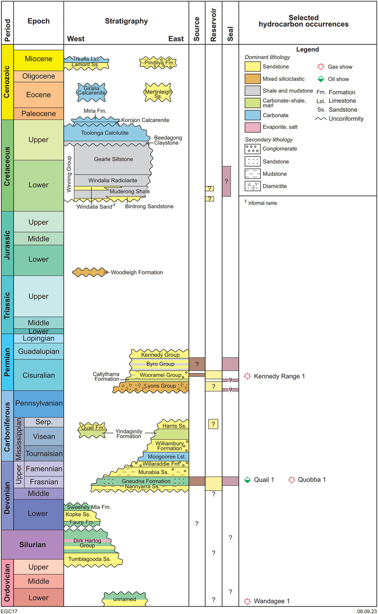
There are few valid tests of hydrocarbon traps in the region and no hydrocarbon discoveries. Lower Cretaceous sandstone facies were the main exploration objective in the northern part of the basin as they have excellent reservoir characteristics. Seal adequacy and distance from effective source rocks are risks in the southern portion. Source rocks in Lower Permian, Upper Devonian, and Silurian strata (Larapintine 2 and 3, Transitional, and Gondwanan petroleum systems, respectively) are typically thin and immature to mid-mature for hydrocarbon generation. Possible Lower Permian source rocks are mostly gas prone with low productivity potential. By comparison, some thin Devonian–Silurian beds have good source characteristics. Burial of the Cretaceous succession (Austral petroleum system) has been insufficient to generate hydrocarbons in this basin. Several structural highs adjacent to major faults along the eastern edge of the Gascoyne Platform may have provided vertical conduits for migrating hydrocarbons but remain untested.
Elevated temperatures in several artesian bores near the coast indicate potential for geothermal energy but such uses are presently limited to heating and cooling.
Southern Carnarvon Basin hydrocarbon shows
| Year | Discovery | Hydrocarbon type | Reservoir | Age of reservoir |
| 1962 | Wandagee 1 | Poor gas show | Tumblagooda Sandstone | Ordovician |
| 1963 | Quail 1 | Trace oil | Gneudna Formation | Devonian |
| 1966 | Kennedy Range 1 | Fair gas shows | Moogaloo Formation (Wooramel Group) | Lower Permian |
| 1984 | Quobba 1 | High background C4 | Gneudna Formation | Devonian |
GSWA publications
-
 GSWA Report 230
Source-rock potential of Permian rocks in the Southern and Northern Carnarvon Basins
-
 GSWA Report 87
Structure and petroleum prospectivity of the Gascoyne Platform
-
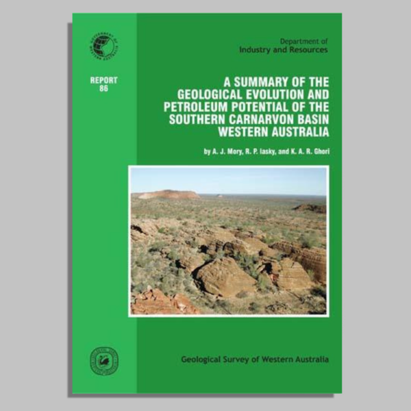 GSWA Report 86
A summary of the geological evolution and petroleum potential of the Southern Carnarvon Basin
-
 GSWA Report 86 data package
A summary of the geological evolution and petroleum potential of the Southern Carnarvon Basin
-
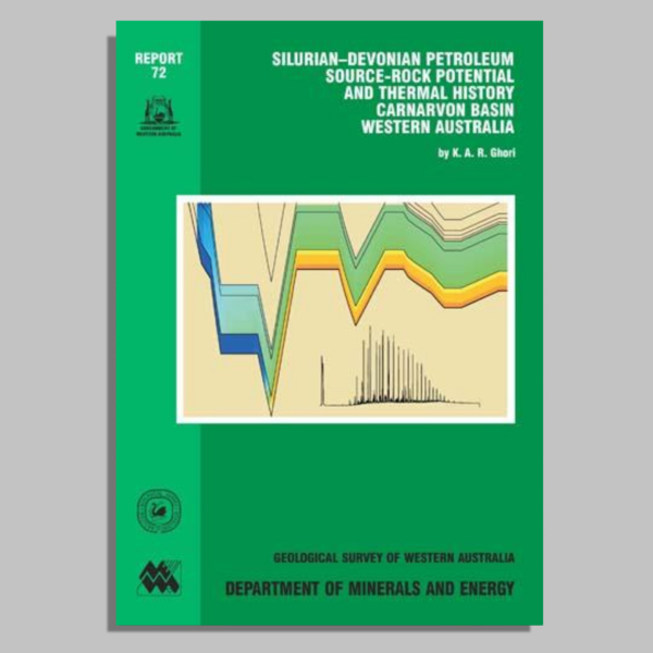 GSWA Report 72
Silurian–Devonian petroleum source-rock potential and thermal history, Carnarvon Basin
-
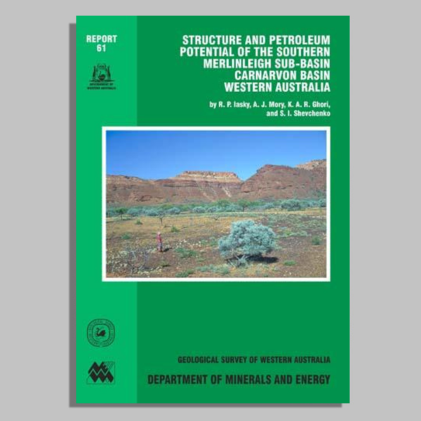 GSWA Report 61
Structure and petroleum potential of the southern Merlinleigh Sub-basin, Carnarvon Basin
Contact
For further information, contact:
basinenergy.geoscience@dmirs.wa.gov.au

