The former railway reserve through John Forrest National Park is a popular walk and bike trail accessible in all seasons. Visitors can deepen their appreciation of the landscape and rocks encountered along the route with this book and map that fits easily into your pocket or backpack.
Book
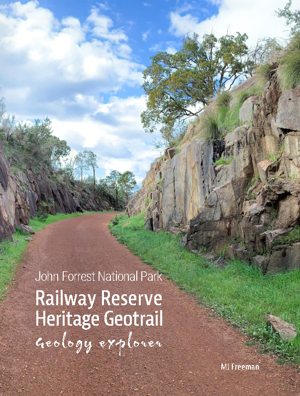
The Railway Reserve Heritage Geotrail follows a disused rail line that was one of the first to connect Perth with the Eastern Goldfields in the 1880s. Railway cuttings expose rocks that have formed the backbone of Western Australia since its inception.
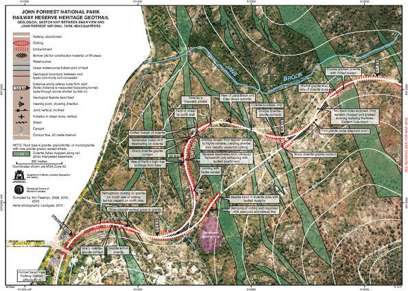
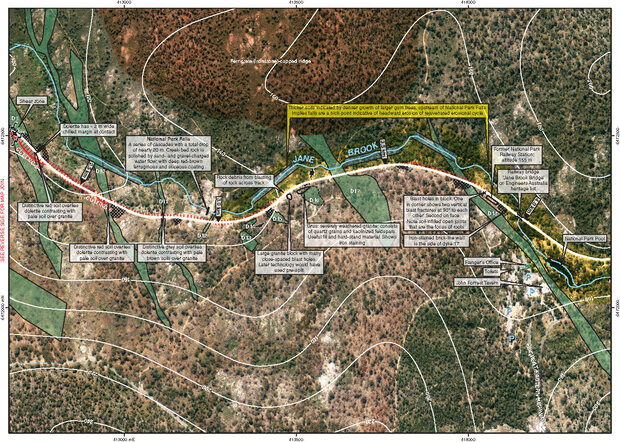
The geology includes granite of Archean age (older than 2500 million years) and younger dolerite dykes that have intruded the granites.
These rocks form an undulating terrain on the western edge of the Yilgarn Craton, where this stable block of Western Australia is undergoing weathering.
Exploring the stops described in the book, or tracing the route on the map, visitors gain an insight to the bedrock geology that underlies much of the Darling Range, and the challenges engineers faced when building the railway.

App

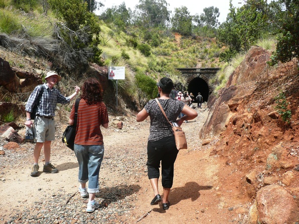
Many of the sites in the book, and a few extra, are captured in an app for your phone or tablet. Following the self-guided tour, the key features at each stop are identified by a photo with a short text description. The app alerts you when you’re within a few metres of the stop and plots your route to the next feature. Download Everythere by scanning this QR code.
Map
If you only need the map, download a two-sided A3 PDF and save to your phone or print to follow as you walk the trail at your own pace. All the stops are marked, with a broader view of the geology overlain on a satellite image, making it easy to locate yourself on the path.
Contact
For further information and to provide feedback, contact:
geotourism@dmirs.wa.gov.au