Geoheritage is about managing, preserving and protecting exceptional geological features. A geoheritage site has geological features considered to be either unique or of outstanding scientific and educational value within Western Australia.
A State register of all geoheritage sites (currently 150 sites) is managed by the Executive Director of the Geological Survey of Western Australia (GSWA). Western Australia’s extensive and exceptional rock record makes it a popular destination for geotourism and geoscience research. The sites listed include spectacular and unique outcrops or geological features, evidence of early life on Earth, unusual fossils, distinctive mineral and rock types, and sites that illustrate geological processes. Below, find information on the location of geoheritage sites, related publications, and about State and Federal legislation that governs issues such as land access, and the collection and exportation of materials. Failure to obtain correct approvals may result in prosecution.
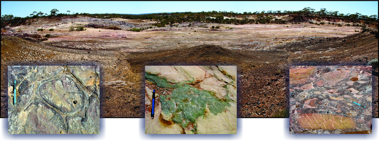
Sites and Reserves
There are two levels of recognition afforded to sites of geological significance within Western Australia.
Geoheritage Reserves have legal status as State C Class Reserves. They are managed by the Executive Director of GSWA on behalf of the Minister for Mines and Petroleum. Geoheritage Reserves are only created for sites of exceptional international significance that are vulnerable to damage or destruction through foot traffic and sampling. For each site, a management plan outlines what activities can or cannot be undertaken. For most Geoheritage Reserves, IT IS ILLEGAL TO ENTER THE RESERVE WITHOUT PRIOR APPROVAL. Activities such as camping, driving over outcrops, prospecting and fossicking are prohibited in all Geoheritage Reserves, and scientific research and sampling are strictly controlled and require prior approval. There are currently eight Geoheritage Reserves across the State.
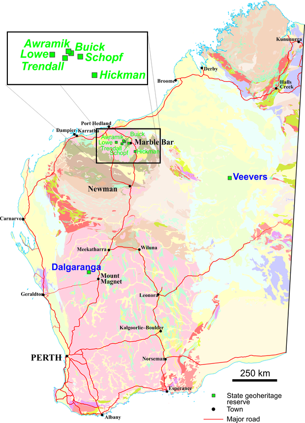
Geoheritage reserves associated with impact craters:
- Dalgaranga (R28497) — 70 km northwest of Mount Magnet
- Veevers (R41372) — 520 km east of Newman
Find out more about impact craters.
Geoheritage reserves associated with early life (Pilbara region):
- Trendall (R50149) — Archean stromatolites
- Lowe (R50150) — Archean stromatolites
- Hickman (R50151) — Archean stromatolites
- Buick (R44710) — Archean stromatolites
- Awramik (R44711) — Archean microfossils
- Schopf (R48969) — Archean microfossils
Find out more about stromatolites.
Approval is required from the department for entry into any of the eight state geoheritage reserves. Applications should be submitted at least two months prior to the date of the intended visit.
Geoheritage Sites do not have legal status, but access restrictions may apply. Sites within bioconservation or other Crown Reserves are protected by other State or Federal Departments, and the relevant department should be approached to obtain permissions. Those located on private land or a granted exploration/mining licence cannot be visited without written permission from the landowner or licensee. Geoheritage Sites are still geologically special places and care should be taken not to damage outcrops, litter, camp, drive through or collect rocks from those sites.
Geoheritage Sites are still geologically special places and care should be taken not to damage outcrops, litter, camp, drive through or collect rocks from those sites.
Access information on geoheritage locations
Geoheritage localities can be seen in GeoVIEW.WA, the department’s interactive geological map tool. Select ‘Geoheritage Sites’ under ‘Special Category Lands’ in the table of contents, or use the link below.
Access Geoheritage information
Statewide spatial datasets — download ESRI shape files, Google Earth KMZ files or MapInfo Tab files from the departments Data and Software Centre (files are located under ‘Special category lands’).
Geoheritage Site nomination process
New Geoheritage Sites can be proposed by any individual or organization using the application form linked below.
Once a proposal is received, a potential site will be assessed by a panel of experts based on the type and level of scientific significance (whether International, National, State, Regional or Local), representability (compared to other features of the same type), vulnerability, and utility to education and other purposes. Sites will be listed to allow for public comment prior to ratification.
A summary of the nomination and assessment process for new Geoheritage Sites can be seen in GSWA Record 2023/3: Register of State Geoheritage Sites, Western Australia: nomination and registration process.
Nomination form to propose a new Site of Geological Significance within Western Australia.
Please complete all sections of the form and follow all instructions to allow rapid appraisal.
Sites currently on the Interim list waiting for formal registration are listed below:
- None pending
These sites can be viewed on GeoVIEW.WA. To make a comment on, or make an objection to, any of these proposed sites, contact Geoheritage staff on the email address listed below.
More information
A brochure explaining geoheritage concepts for tourists and the general public is available through GSWA’s eBookshop.
Under the Museum Act 1969, all meteorites collected within Western Australia belong to the State, and should be reported and/or surrendered to the Western Australian Museum.
Exporting geological material out of Australia, particularly fossils and meteorites, is strictly controlled by the Federal Protection of Cultural Moveable Heritage Act 1986. Approval is required from the Federal Ministry of Arts for the permanent export of Class B objects. The following links provide useful information:
Contact
For further information contact
geoheritage@dmirs.wa.gov.au
Publications
-
 Record 2010/13 Management plan for State geoheritage reserves
-
 Records 2002/11 Visiting geological sites in Western Australia — a guide to planning, collecting and procedures
-
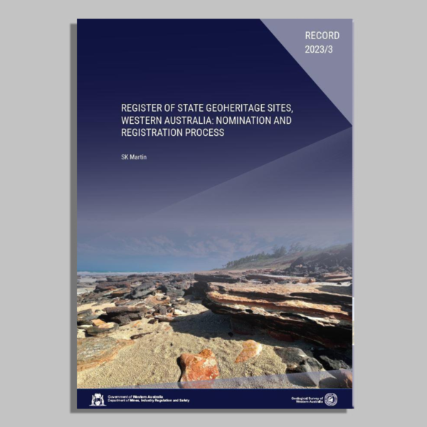 Record 2023/3 Register of State Geoheritage sites, Western Australia: nomination and registration process
-
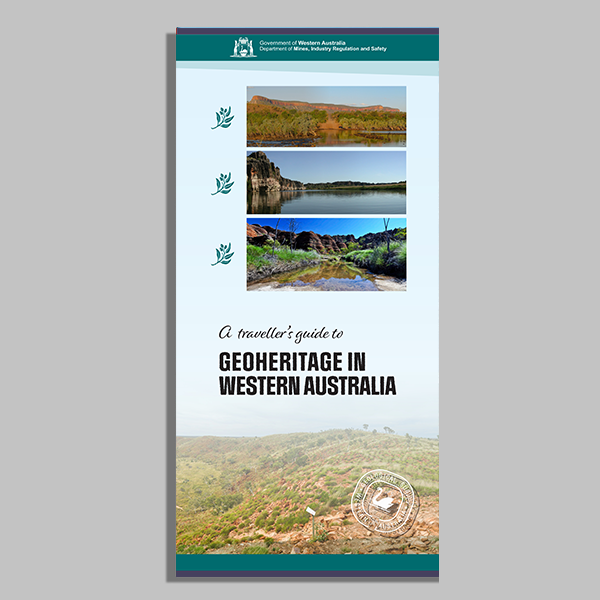 Geoheritage in Western Australia
