Description

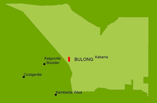
The Bulong site is located on Kakarra Native Title Claim area approximately 40km east of Kalgoorlie, adjacent to the western side of Lake Yindarlgooda.
Nickel mining operations were undertaken at Bulong between 1996 and 2005 when the operating company went into receivership. The mining lease over the tailings storage facility (TSF) and evaporation ponds was forfeited in 2013 and this component of the operation was abandoned. The TSF and evaporation ponds were selected as a rehabilitation project under the Abandoned Mines Program due to community concerns and the potential for impact on the adjacent lake system.
A detailed site investigation and ecological risk assessment have been undertaken to characterise potential contamination associated with the facility. No risks to human health from contamination have been identified and risks to the lake ecology have been assessed as low.
Geotechnical assessments including Dam Break Assessment, Likelihood of Failure Report and a Conceptual Closure Design have now been completed. The Likelihood of Failure Assessment reported that the most likely failure scenario is through seismic instability, with an estimated annual probability of occurrence of 1 in 25,000. All calculated failure scenario probabilities were significantly below the calculated ANCOLD limit of tolerability of 1 in 1,000.
Registered Aboriginal Heritage sites, Native Title considerations, identification of a suitable source of competent capping material and a haulage route must be negotiated before the project can progress to developing a detailed closure design.
This project is on hold pending improved MRF interest funds and engagement with Traditional Custodians.
Strategic objectives
- To minimise significant environmental and safety risks associated with the Bulong tailings storage facility.
- With consideration of heritage values, to enhance the potential future use of the site through rehabilitation.

Program implementation framework
| Desktop assessment | Investigation | Planning | Implementation | Monitoring |
|---|---|---|---|---|
|
Stakeholder engagement commenced 2018 and is ongoing (U) |
Initial site inspection 2017 (C) | Remediation options assessment (P) | Declaration as an abandoned mine (P) | Monitoring of environmental indicators to ensure the site has met objectives for post-project landuse (at minimum the site is safe, stable and non-polluting) (P) |
| Initial site risk assessment 2018 (C) | Preliminary site investigation 2019 (C) |
Remediation action plan (P) |
Remediation works (P) | Revocation of declaration of abandoned mine site (P) |
| Preliminary project plan 2018 (C) | Detailed site investigation 2020 (C) |
Geotechnical detailed closure designs data (P) |
Rehabilitation works (P) | |
| Ecological risk assessment 2021 (C) | ||||
| Likelihood of failure and dam break assessment 2021 (C) | ||||
| Conceptual closure designs (C) | ||||
| Identification of capping material (P) |
Schedule: Completed (C); Underway (U); Planned (P)


While undertaking the Bulong TSF detailed site investigation, abandoned mine features close to the site were observed which were not captured in the Abandoned Mine Inventory. To undertake the work of mapping these features, an Aboriginal business was engaged to locate and document these features as a pilot project.
The 2020 project mapped 54 previously unidentified abandoned mine features in an area of 80ha. The approach taken in this pilot study was adopted into the development of the Safer Shafts for Towns project.
