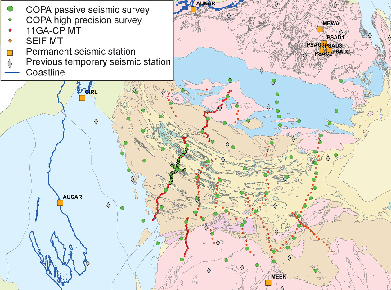
The initial network was established in March 2014 and the final seismometers were removed in September 2018. Over that four years, 3 terabytes of data were recorded over a total of 83 temporary stations with an overall 70% recovery of data.
The initial network was composed of two parts: a ‘permanent framework’ of nine stations and a mobile network of up to 24 stations (see figure). The network started in the west and was progressively migrated eastwards until the easternmost stations lay along the Great Northern Highway. All stations were three-component broadband seismometers which were downloaded on a regular basis.
A subarray of 25 Trillium Compact 120-s seismometers and ANU recorders was deployed for a period of 12 months within the timeframe of the larger array. This was known as the High Precision Survey (HPS) and was designed to image by passive seismic techniques, a section of the 10GA-CP2 deep seismic reflection line for comparison of results by passive and active images.
Data processing included receiver function analysis for depth to Moho, bulk crustal composition and common conversion point imaging, ambient noise tomography and body wave tomography to look at the subcontinental lithospheric mantle.
Reports on this project are being compiled and will be available through the DMIRS eBookshop.
Contact
For more information contact:
seismology@dmirs.wa.gov.au