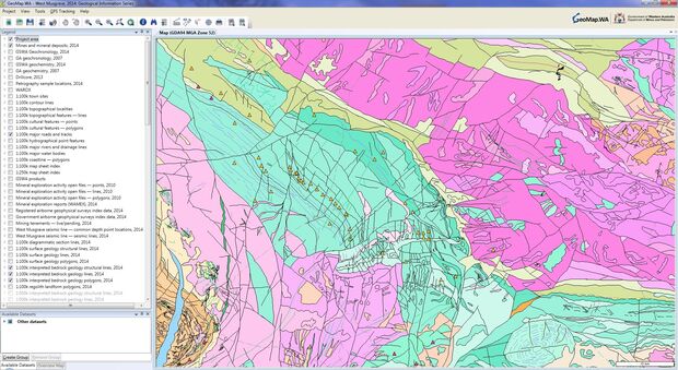
GeoMap.WA is a computer-based application that allows users to visualise, interrogate and integrate vector and raster data types and associated attribution. It is an easy-to-use software application that does not require specialised skills or costly computer systems. This innovative desktop application is designed to help exploration geologists, prospectors and the community to create a customised view of geoscientific, resource and other government information on their computer in the office, home or in the field.
Download GeoMap.WA software
The GeoMap.WA tool provides support for ESRI Shapefile and MapInfo TAB vector data files, web map services (WMS) and GeoTIFF, ECW and JPEG2000 raster image files.
GeoMap.WA supports GPS tracking and plotting. This enables users to connect their GPS to the computer to see their live location and track their movement on the background map or image.
Training tools
A range of training manuals and videos can be found on the Data and Software Centre page, in the category ‘GeoMap.WA software’. The GeoMap.WA ‘cookbook’ provides various exercises and step-by-step instructions on how to complete the exercises.
Videos
GeoMap.WA - Adding map layers video
GeoMap.WA - Changing symbology video
GeoMap.WA - GPS tracking video
GeoMap.WA - Searching by area video
GeoMap.WA - Searching by text video
Contact
For further information contact:
gsd.dda@dmirs.wa.gov.au

