Minister unveils important new map and announces Round 13 of the Co-funded Drilling Program.
| Date: | Monday, 29 February 2016 |
|---|
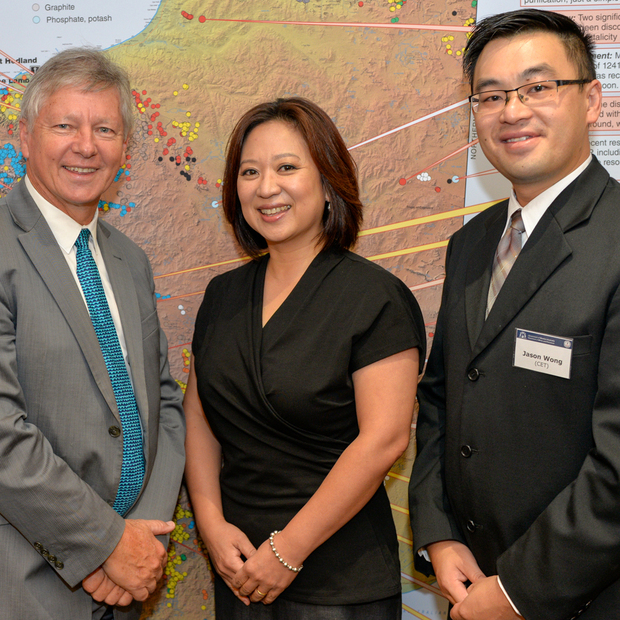
A landmark digital map of Western Australia was launched by Mines and Petroleum Minister Bill Marmion when he officially opened the Geological Survey of Western Australia (GSWA) annual Open Day on Friday, 26 February.
The flagship product is the culmination of 15 years of work that has dramatically reshaped how GSWA delivers its geoscience data and products.
Mr Marmion told the audience that 100 years ago Acting Surveyor General Frederick Slade Brockman compiled the GSWA’s least known geological map of Western Australia.
“Only one copy exists today,” Mr Marmion said. “It is badly torn and large tracts of the interior are simply blank spaces with no interpretation.
“Today, I am honoured to formally announce the publication of a new digital geological map of Western Australia with incomparable accuracy and detail.”
Mr Marmion said that the world-leading interpreted bedrock geology map boasted 1:500,000 scale spatial accuracy across Western Australia and was the first to be entirely digitally compiled rather than assembled by hand using pre-existing maps and then digitised.
“Annual or bi-annual updates will ensure that the State map is always current, eliminating the long delays in the release of new data in the past,” he said.
The Minister also announced Round 13 of the State Government’s Co-funded Drilling Program to help miners make new discoveries.
Mr Marmion applauded the many successes of the flagship drilling program of the Exploration Incentive Scheme (EIS) that has been operated by the Department of Mines and Petroleum (DMP) since 2009.

The Minister said that the $130 million invested in the EIS up to June next year had been responsible for dozens of discoveries, including significant gold finds last year.
The program of innovative drilling in under-explored and greenfields area had offered funding to more than 590 projects that involved more than 450,000 metres of drilling across the State, and more than $23 million had been refunded to miners, he said.
“But the EIS does a lot more for exploration than provide the money for the drilling program,” he said.
“It has enabled GSWA to take bold strides into the world of 3D geological modelling, recently releasing its first two geomodels ? the Windimurra igneous complex and the Sandstone greenstone belt in the northern Yilgarn Craton.”
The Minister said that the three most important “D” words in mineral exploration were drilling, data and 3D.
“A century ago, explorers on horseback and camels relied on incomplete paper maps and a lot of luck to make discoveries.
“Explorers these days still need luck, but they can do a lot of their exploration in front of a computer screen and download invaluable data that has been interpreted by GSWA,” he said
“This geoscientific sleuthing is what leads to the more high-profile side of exploration – drilling rigs and hard yakka by workers in hard hats and hi-viz vests.”
The launch of the new State map was accompanied by the release of the Explanatory Notes System (ENS) search tool on GSWA’s state-of-the-art geoscientific web application, GeoVIEW.WA.
ENS is a digital repository that integrates the digital map layers with links to all geological units and events recognised in Western Australia.
“ENS will build into an online virtual book, providing a scale-less and seamless continuously updated summary of the geology of Western Australia,” Mr Marmion said.
A suite of exciting new software tools was premiered at the Open Day, marking more than two years of close collaboration between GSWA and the University of WA’s Centre for Exploration targeting (CET).
The Integrated Exploration Platform (IEP) has been designed to improve utilisation of GSWA geoscience datasets to support explorers operating in Western Australia.
The IEP includes innovative tools to interactively visualise multiple datasets in 2D and 3D with the aim of improving explorers’ ability for data interrogation.
The open day also marked the release of the drilling reports and the wireline logging data from the South West Hub Carbon Capture and Storage project.
DMP has drilled three wells in the Harvey-Waroona area between December 2014 and June 2015 to produce data on the potential carbon dioxide reservoir within the Lesueur Sandstone.
Results from GSWA’s ongoing pre-competitive geoscience program were on show at the open day.
The latest hard copy and digital map products included high-quality 1:100,000 and 1:250,000 geological series maps that are updated each year from across the State.
GSWA also showed off its updated seamless digital Geological Information Series products for the Capricorn, East Yilgarn, South Yilgarn, Murchison, Musgrave, Tanami and Kimberley regions.
New business systems were also demonstrated, including the latest updates for GeoVIEW.WA, GSWA’s award-winning, state-of-the-art geoscientific web application.

