The Geological Survey of Western Australia (GSWA) maps the geology of the State to produce robust interpretations of tectonic setting, crustal architecture and geological evolution that can be fed into regional exploration models.
Field-based, regional geological mapping programs are spread across the diverse geology of the State. GSWA also produces statewide compilation grids and images of magnetic, radiometric and gravity data. Our multidisciplinary approach combines:
- igneous and metamorphic petrology
- geochemistry
- geochronology and isotope studies
- structural geology
- geophysical interpretation and 3D modelling
- basin studies
- mineralisation studies
- regolith studies.
-
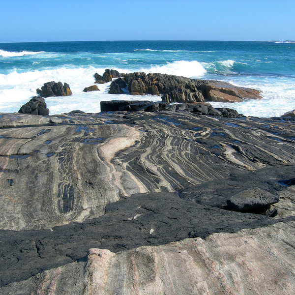 Geology of Western Australia
Western Australia’s geological record extends from some of the oldest known rocks on the planet to very recent sediments.
-
 Accelerated Geoscience Program
New datasets will accelerate understanding of the State's geology and mineral prospectivity
-
 GSWA projects
GSWA staff work in many parts of Western Australia, commonly in collaborative projects with other organisations.
-
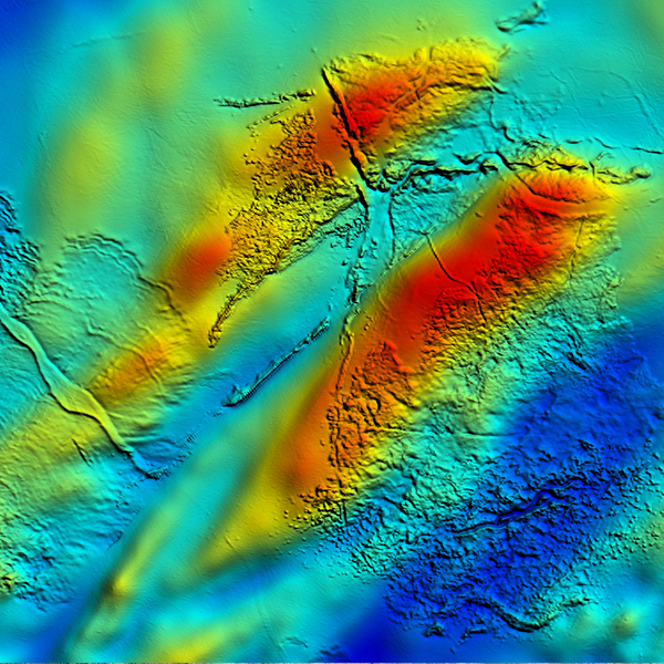 Regional geophysical survey data
GSWA acquires statewide airborne geophysical datasets at increasing resolutions; grids and georeferenced images are available to download.
-
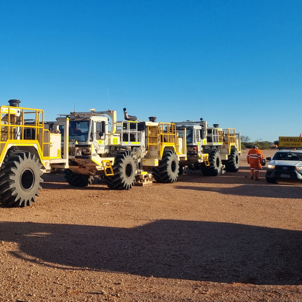 Deep crustal seismic reflection surveys
Exploring how the different components of the Western Australian landmass are configured and how they came together.
-
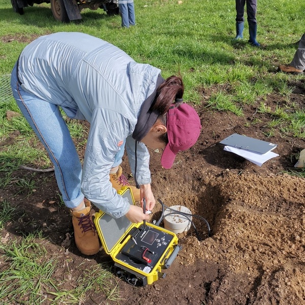 Passive seismic surveys
 and earthquake monitoring
Passive seismic surveys
Passive seismic surveys and earthquake monitoring
-
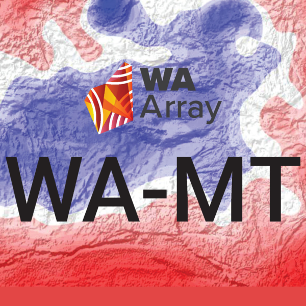 Magnetotelluric (MT) surveys
MT surveys image deep into the lithosphere using the Earth’s natural magnetic and electrical fields
-
 WA Array
The WA Array project will accelerate the acquisition of passive seismic data across Western Australia
-
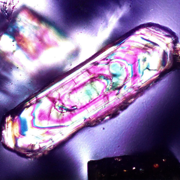 Geochronology
Radiogenic isotope geochronology is used to determine the absolute timing of geological events and understand the crustal evolution of WA.
-
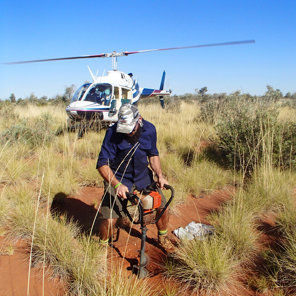 Geochemistry (GeoChemExtract)
The chemistry of rock and soil assists in interpreting geological history, revealing mineralization, and understanding weathering processes.
-
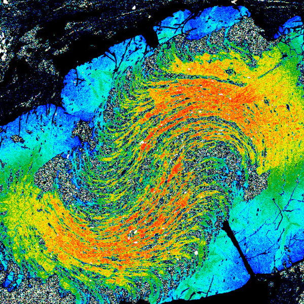 Metamorphic History
Metamorphic constraints offer insight into a wide range of geological processes, and are used to understand crustal evolution
-
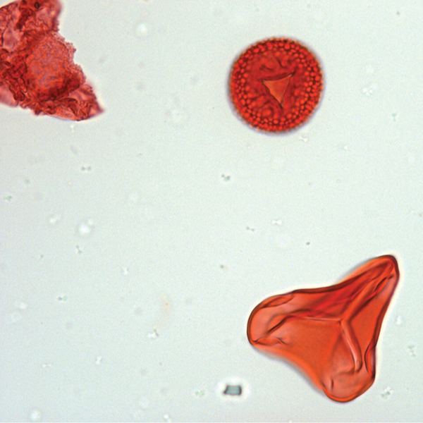 Paleontology
 provides critical geological age and paleoenvironmental data for ancient and recent basins across Western Australia.
Paleontology
Paleontology provides critical geological age and paleoenvironmental data for ancient and recent basins across Western Australia.
-
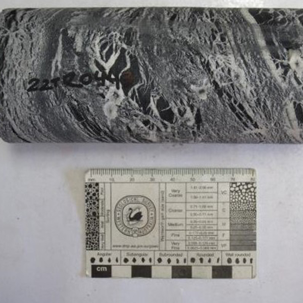 Petrophysics
GSWA is embarking on a strategic program of systematic petrophysical measurements across Western Australia
-
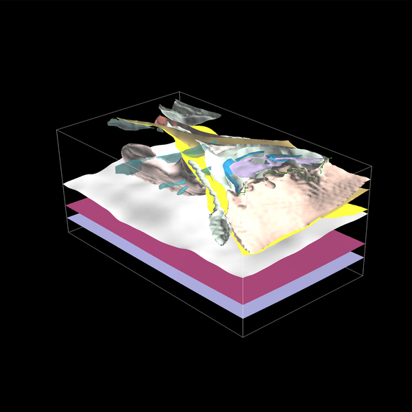 3D geoscience
Integration of geophysical, geological and geochemical data in 3D models aims to increase the knowledge of Western Australia’s subsurface.
-
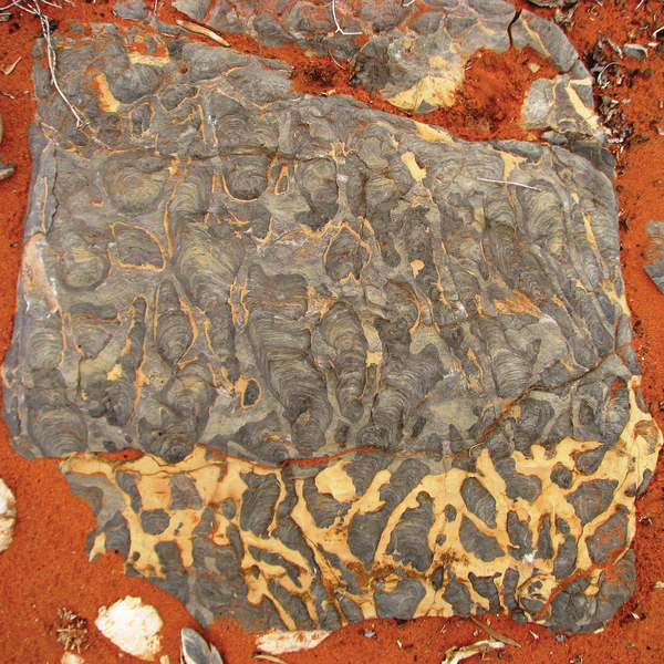 Geoheritage
Find out about some of the most scientifically important geology sites of Western Australia and how they are managed.
-
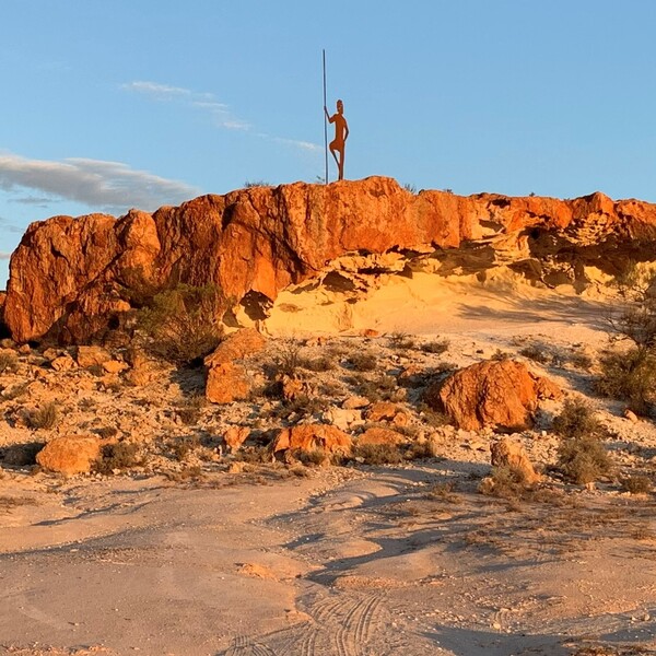 Geotourism
Explore Western Australia’s amazing geology and landscapes through books, virtual tours, online stories and apps designed for travellers
-
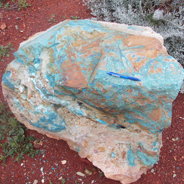 Minerals geoscience
GSWA studies mineral systems to define metallogenic models that improve prospectivity and predictive targeting for minerals in the state.
-
HyLogger spectral scanner The HyLogger is a rapid spectroscopic logging and digital imaging system that uses visible and infrared spectroscopy to safely examine core.
-
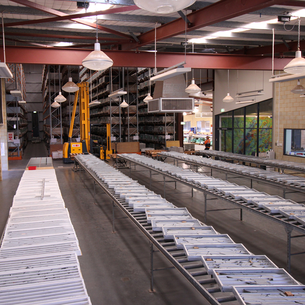 Core library services and drillcore
The department’s core libraries hold a wealth of petroleum and mineral drillcore and core-related information.
-
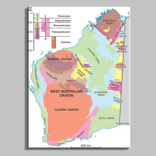 State maps and statewide datasets
GSWA produces maps and digital spatial layers that synthesise the geology of Western Australia, and its mineral and petroleum endowment.
-
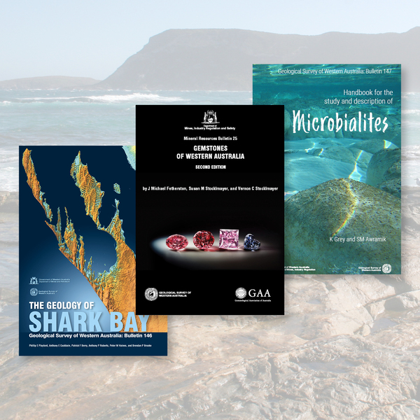 Premium GSWA publications
These premium publications highlight geological work in specific parts of Western Australia
-
 GSWA webinar series
GSWA program of webinars is designed to support Western Australia’s explorers.
-
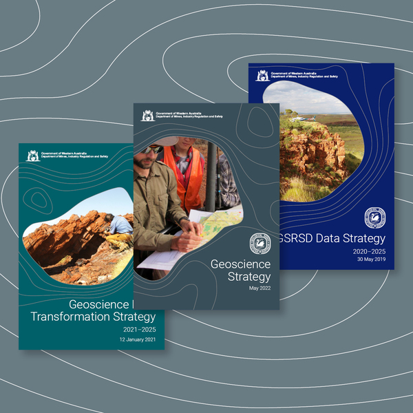 GSWA strategic priorities
Outlines GSWA’s long-term priorities to support the responsible use of the State’s resources
-
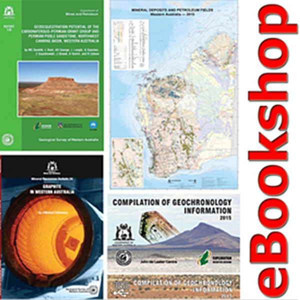 GSWA publications and maps
The department’s eBookshop contains almost 5000 geological products including books, maps and data packages.
Contact
For further information contact:
chief.geoscientist@dmirs.wa.gov.au
geological.survey@dmirs.wa.gov.au
