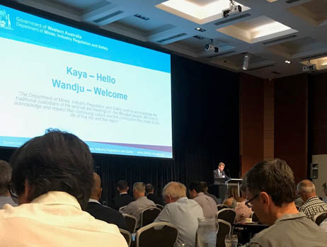
GSWA Open Day 2019
The Geological Survey hosted its annual Open Day on Friday 22 February 2019. This was a great opportunity to hear presentations on the latest results from its geoscience programs, including collaborative work with CSIRO, Geoscience Australia, Curtin University and the Centre for Exploration Targeting (CET).
Activities and results of the Exploration Incentive Scheme were outlined including the launch of Round 19 of the Government Co-funded Exploration Drilling program.
Throughout the day, there were geological presentations, an extensive poster display, and demonstrations of online systems and innovations in technology.
For further information, call (08) 9222 3634
GSWA Open Day 2019 material
Open Day Presentations
Products released 1 July 2017 – 22 February 2019
- 1:500 000 State regolith geology of northern Western Australia
- 2018 Carnarvon SEEBASE study and GIS data package
- 1:500 000 orogenic events of onshore Western Australia, 2018
- 2017 Canning Basin SEEBASE study and GIS data package
- Compilation of geochronology information, 2018
- Compilation of HyLogger records, 2018
- Compilation of WAROX data, 2018
- Diamond exploration and prospectivity of Western Australia
- East Yilgarn, 2018
- Fortescue-Hamersley, 2018
- Kimberley, 2018
- Merlinleigh Sub-basin, 2013
- Mount Brockman Syncline, 2006
- Murchison, 2018
- Tanami–Arunta, 2018
- Theia 1, Canning Basin, Digital Core Atlas
- Western Australian Information for APPEA 2018, Adelaide
- Western Capricorn Orogen, 2018
- Fieldnotes: GSWA newsletter January 2019 number 89
- Fieldnotes: GSWA newsletter October 2018 number 88
- Fieldnotes: GSWA newsletter July 2018 number 87
- Fieldnotes: GSWA newsletter April 2018 number 86
- Fieldnotes: GSWA newsletter January 2018 number 85
- Fieldnotes: GSWA newsletter October 2017 number 84
- Fieldnotes: GSWA newsletter July 2017 number 83
- Calendar 2019: Geological Survey of Western Australia
- Understanding the Meckering earthquake, Western Australia, 14 October 1968
- Geology of the Kennedy Range area
- Geological Survey work program for 2017-18 and beyond
- Towards a geochemical barcode for Eastern Goldfields Superterrane greenstone stratigraphy - preliminary data from the Kambalda-Kalgoorlie area
- The deep seismic reflection profile 11GA-Y01 in the west Musgrave Province: an updated view
- Metamorphosed VMS mineralization at Wheatley, southwest Western Australia
- Alteration associated with the Austin-Quinns VMS deposits
- NW Biogeochemistry and Beyond Project
- Controls on hydrothermal alterations and gold mineralisation at Coyote deposit, Western Australia
- Compilation of geophysical modelling records, 2017
- Data methodologies applied in the Western Australian diamond exploration package
- GSWA 2018 extended abstracts: promoting the prospectivity of Western Australia
- Regolith chemistry of the Ngururrpa area, northeastern Western Australia
- A new Mesoproterozoic mafic intrusive event in the Capricorn Orogen
- A petrographic and geochronological assessment of the gabbroic and metagabbroic rocks of the Fraser Zone, Albany-Fraser Orogen, Western Australia
- Post-conference field trip guide: the Leeuwin Complex, Western Australia
- 3rd Lithosphere workshop, 5-6 November 2017, The University of Western Australia
- Geology, resources and exploration potential of the Ellendale diamond project, west Kimberley, Western Australia
- The tectonothermal evolution of a portion of the southern Fraser mobile belt, Western Australia
- Geochemistry of Archean granitic rocks in the South West Terrane of the Yilgarn Craton
- The Cryogenian Aralka Formation, Amadeus Basin: a basinwide biostratigraphic correlation
- (U–Th)/He dating of ferruginous duricrust, Boddington gold mine, Western Australia
- A new look at lamprophyres and sanukitoids, and their relationship to the Black Flag Group and gold prospectivity
- The Liveringa Group, Canning Basin: correlating outcrop to subsurface
- A review of palynology from the Harvey region, southern Perth Basin, Western Australia
- Tectono-magmatic evolution of the Neoarchean Yalgoo dome (Yilgarn Craton): Diapirism in a pre-Orogenic setting
- Crustal and uppermost mantle structure of the east Albany--Fraser Orogen from passive seismic data
- A seismic interpretation of the southwestern Canning Basin, Western Australia
- Diamond exploration and prospectivity of Western Australia
- New Hf sotope insights into the Paleoarchean magmatic evolution of the Mount Edgar Dome, Pilbara Craton: implications for early Earth and crust formation processes
- 2017 Canning Basin Seebase study and GIS data package
- Metamorphosed Mesoarchean Cu-Mo-Ag mineralization: evidence from the Calingiri deposits, southwest Yilgarn Craton
- Regional seismic interpretation and structure of the southern Perth Basin
- The mapped stratigraphy and structure of the mining area C region, Hamersley province
- Building the Archean continental crust: 300 Ma of felsic magmatism in the Yalgoo dome (Yilgarn Craton)
- Detection and identification of rare earth elements using hyperspectral techniques
- Petroleum geochemistry and petroleum systems of the Perth Basin
- Multi-scaled near surface exploration using ultrafine soils
- Stromatolite assemblage including Eleonora boondawarica and Acaciella savoryensis from mineral drillhole 07THD003
- Record 2018/8 Geology, resources and exploration potential of the Ellendale diamond project, west Kimberley, Western Australia
- Capricorn Orogen rutile study: a combined (EBSD) and laser ablation split stream (LASS) analytical approach
- Metamorphic history of the Mougooderra Formation, Yilgarn Craton, Western Australia
- MRIWA Report No. 462 Multi-scaled near surface exploration using ultrafine soils
- GABANINTHA, WA Sheet 2644
- NINGHAN, WA Sheet 2339
- LANSDOWNE, WA Sheet SE 52-5
- MACDONALD, WA Sheet SF 52-14
- Aboriginal land, conservation areas, mineral and petroleum titles and geology, Western Australia - 2019
- Major resource projects, Western Australia - 2018
- Mines - operating and under development, Western Australia - 2018
- Resource projects, Goldfields region - 2017
-
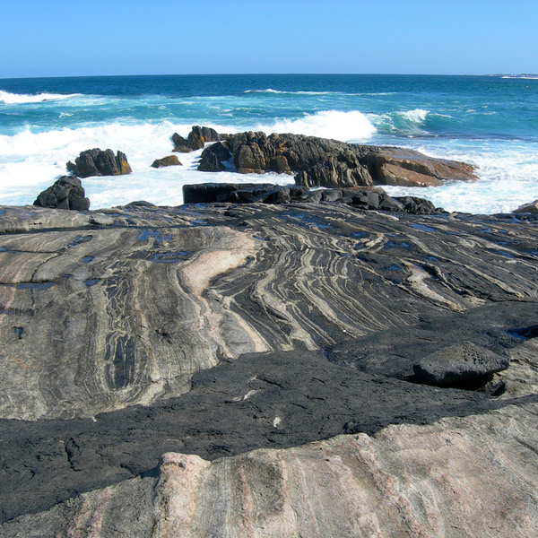 Geology of Western Australia
Western Australia’s geological record extends from some of the oldest known rocks on the planet to very recent sediments.
-
 Exploration Incentive Scheme (EIS)
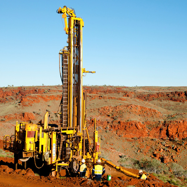
EIS supports exploration in Western Australia through precompetitive data and a co-funding program for innovative exploration drilling.
-
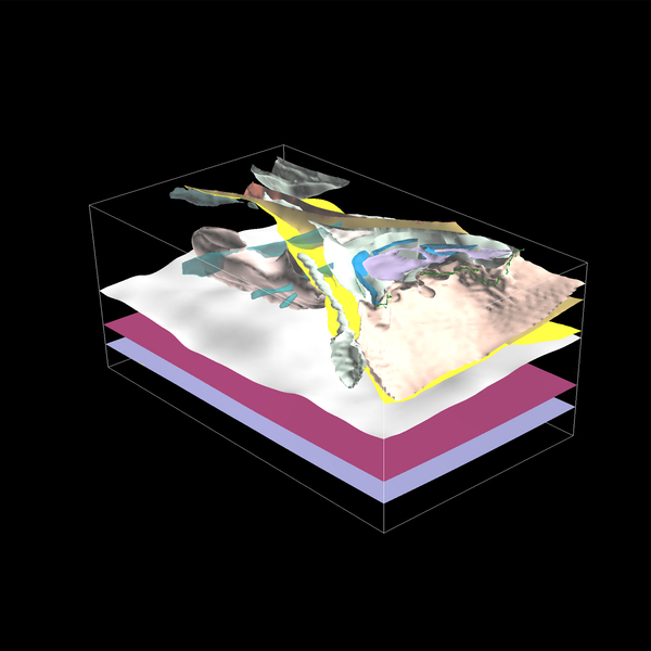 3D geoscience
Integration of geophysical, geological and geochemical data in 3D models aims to increase the knowledge of Western Australia’s subsurface.
-
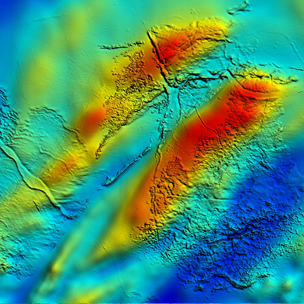 Regional geophysical survey data
GSWA acquires statewide airborne geophysical datasets at increasing resolutions; grids and georeferenced images are available to download.
-
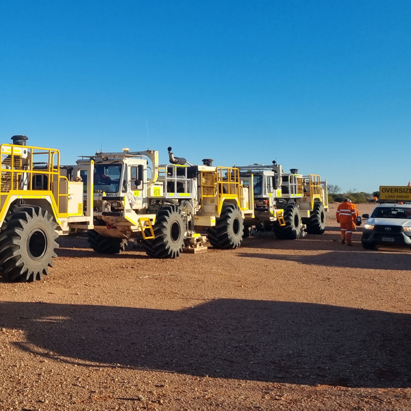 Deep crustal seismic reflection surveys
Exploring how the different components of the Western Australian landmass are configured and how they came together.
-
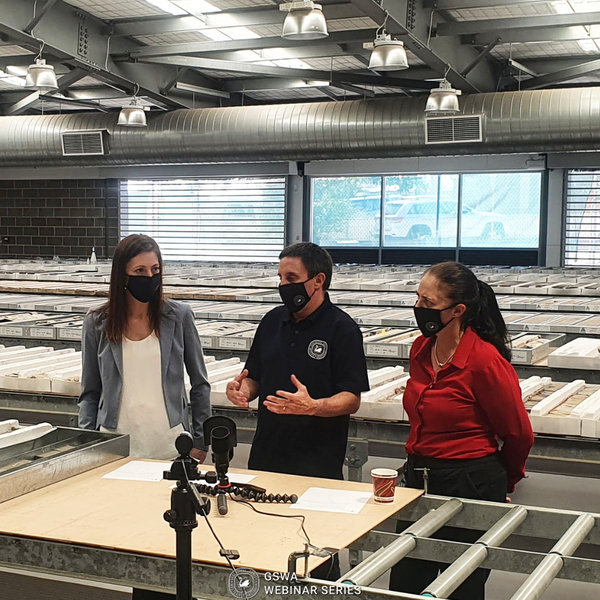
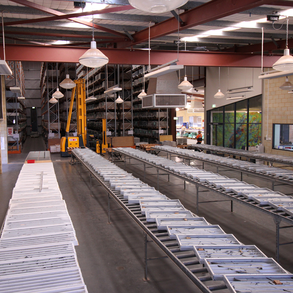 Core library services and drillcore
The department’s core libraries hold a wealth of petroleum and mineral drillcore and core-related information.
-
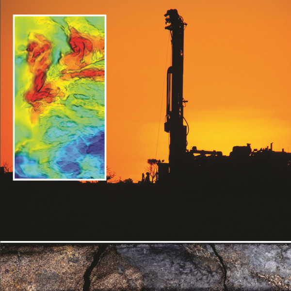 Online Systems
Online Systems
Online Systems
-
 Geoscience Education
Read about the fantastic geology of Western Australia, including fossils, meteorite impacts, earthquakes, and geotourism localities.
-
 News and events
News and events
News and events
Contact
For more information contact:
geological.survey@dmirs.wa.gov.au

